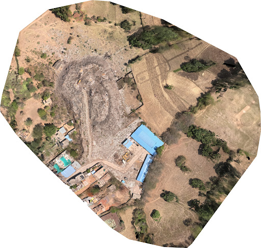
2. The Technical Workflow: How High-Precision Maps are Created
Achieving the level of detail seen in professional surveys requires a rigorous multi-step process. This is where the expertise of a specialized firm, such as Lucknow Land Surveyors, becomes invaluable. Data Acquisition and Flight Planning Everything starts with the flight. Using professional-grade UAVs (Unmanned Aerial Vehicles), surveyors set a Ground Sampling Distance (GSD). A lower GSD means higher resolution. For industrial and construction sites, a GSD of 2-3 cm/pixel is standard, allowing for the identification of even small site features like manhole covers or utility markers. The Role of DGPS and Ground Control Points (GCPs) Aerial data is only as good as its ground truth. By using DGPS (Differential Global Positioning System) technology, surveyors establish permanent or temporary benchmarks on the ground. These points act as anchors, ensuring the drone’s relative data is tied to absolute global coordinates. Without GCPs, a map is just a picture; with them, it is a legal and engineering document. This results in: A Dense Point Cloud: A 3D model made of millions of individual data points. A Digital Surface Model (DSM): Capturing the heights of all objects, including buildings and trees.