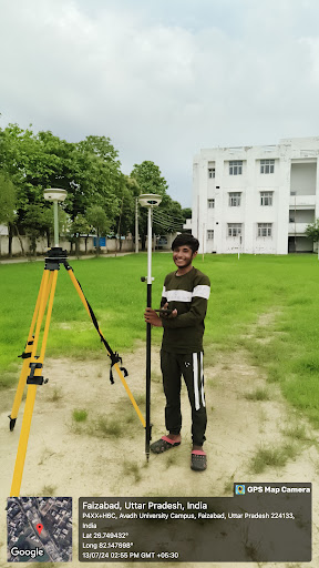
Land Surveyor: A Master of Measurement
A land surveyor is a professional who measures and maps land. They use specialized equipment and techniques to accurately determine property boundaries, elevations, and other land features. This information is crucial for various purposes, including: * Construction projects: Providing accurate data for building design and layout. * Property disputes: Resolving boundary conflicts and establishing property lines. * Mapmaking: Creating detailed maps for various uses, such as navigation and planning. * Mining and resource exploration: Identifying and mapping valuable resources. What Does a Land Surveyor Do? * Fieldwork: Spending time outdoors, using equipment like GPS, total stations, and levels to collect data. * Data analysis: Processing collected data to create accurate maps, plans, and reports. * Legal research: Studying property records and legal documents to determine land ownership and boundaries. * Calculations: Performing complex mathematical calculations to determine distances, angles, and areas. * Communication: Explaining technical information to clients and other professionals in a clear and understandable manner. Essential Skills for a Land Surveyor * Strong mathematical and analytical skills: Accurate calculations are crucial for the job.