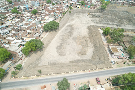
Looking for fast, accurate, and cost-effective land or construction surveys?
Published
Our drone surveying services deliver high-resolution aerial data for: ✅ Land Mapping ✅ Topographic Surveys ✅ Construction Monitoring ✅ 3D Modeling ✅ Boundary & Layout Surveys
🔍 Powered by RTK drone tech for centimeter-level accuracy. 📍 Serving Lucknow & surrounding areas 📞 Contact us today for a site visit or free consultation!
#DroneSurveyor #AerialSurvey #LandMapping #ConstructionSurvey #DroneMapping #SurveyingServices #LucknowSurveyor #TopographicSurvey #RTKDrone